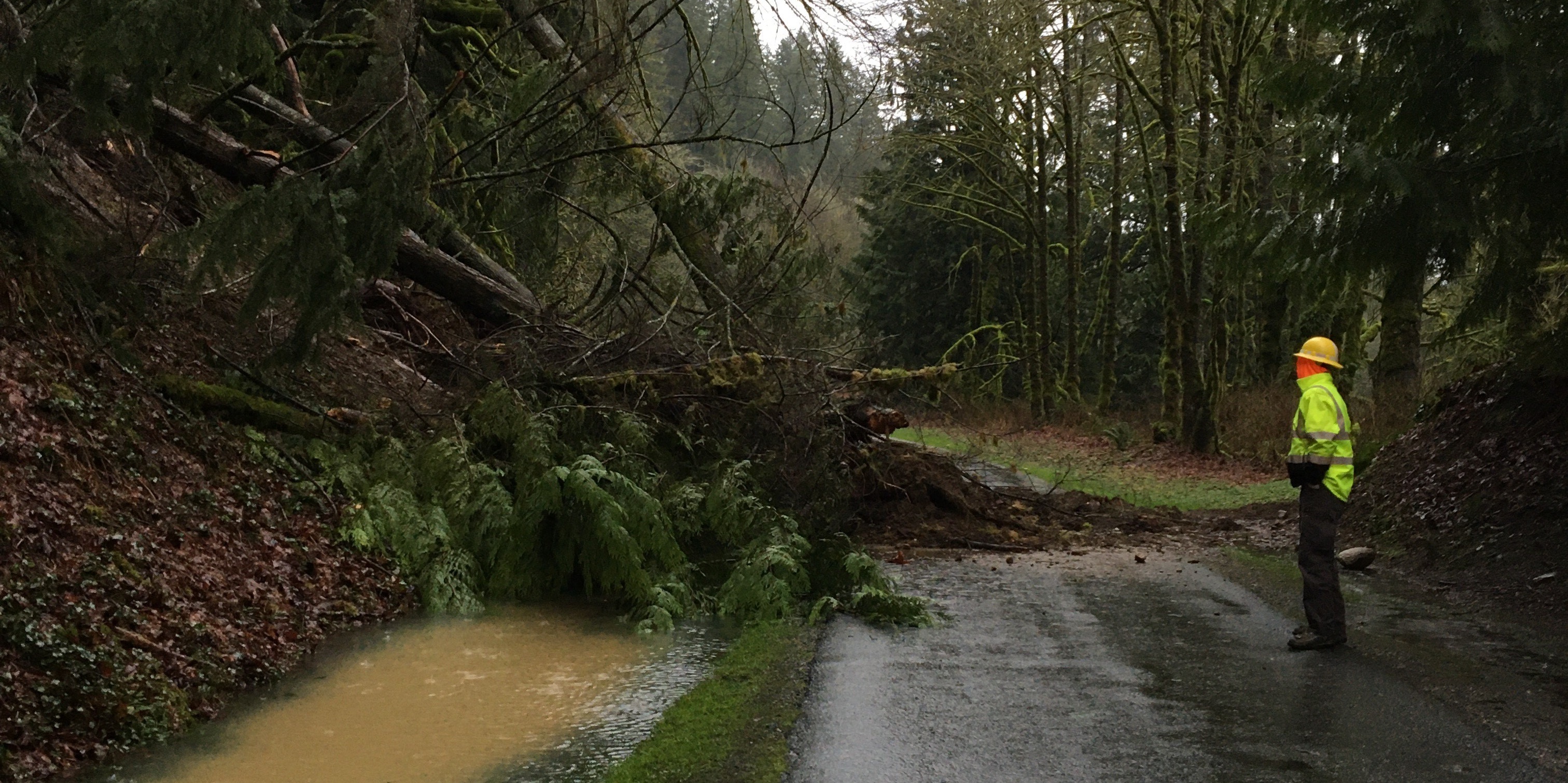
What you can expect
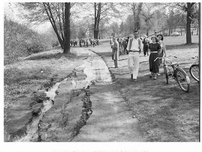
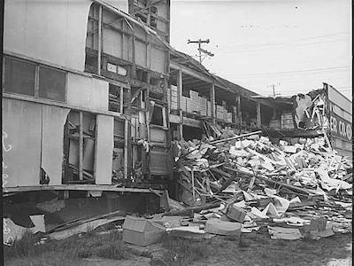
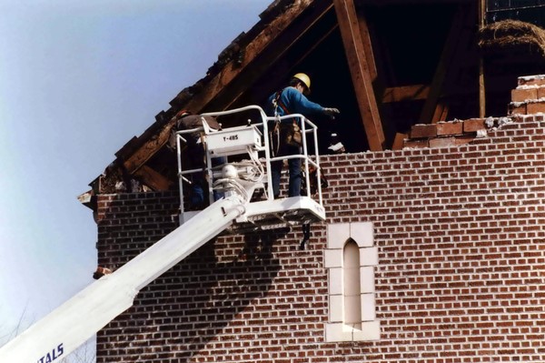
- The most-likely scenario is a major earthquake along the Cascadia Subduction Zone and will impact the northwest coast.At this location you will feel very strong shaking that lasts for minutes and can expect moderate damage (data).
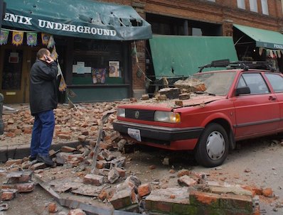
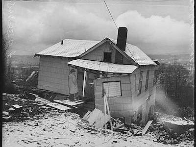
- At this shaking level, it will be hard to stand, and unsecured objects will fall. Some chimneys will crack and fail.
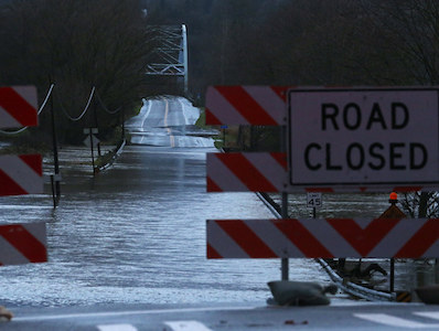
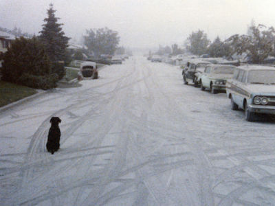
- You may lose access to electricity, water, sewer, phone, and internet service for days or weeks. Some areas may be without utilities for months.
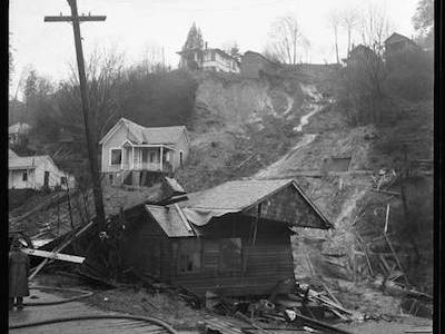
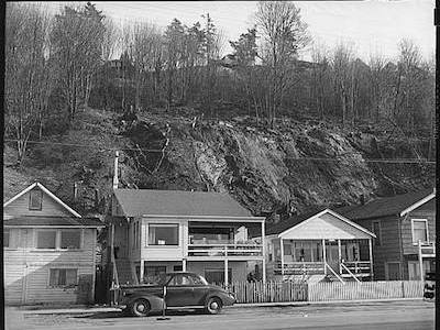
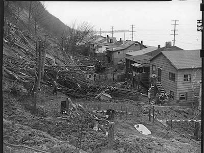
What's the worst that could happen
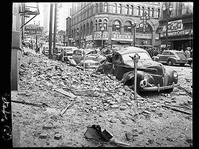
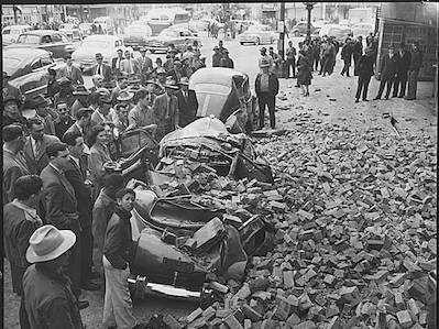
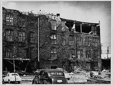
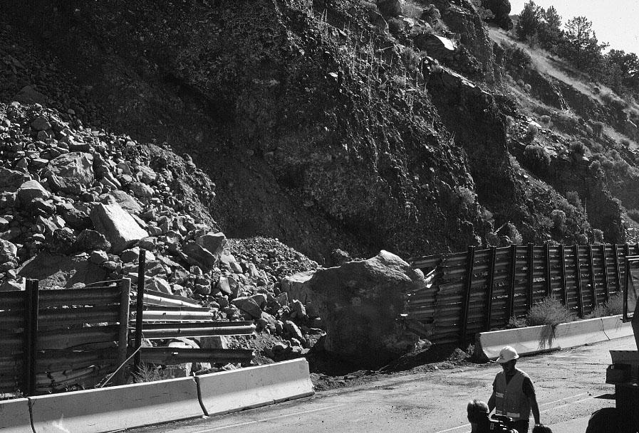
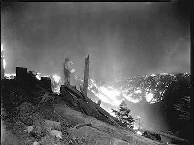
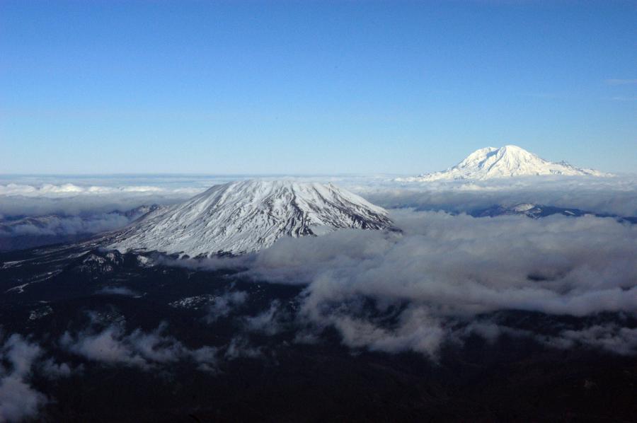
The worst-case scenario is a magnitude 7.0 - 7.5 earthquake along the Seattle Fault Zone. Compared to a Cascadia event, which generates deep in the crust, a quake on the Seattle fault would be much shallower (less than 25 km deep) and shake the surface more intensely.
Seattle Fault scenarios indicate that this location will feel severe shaking. It will be difficult to stand. Very heavy furniture will move and widespread damage to chimneys and homes that are not earthquake resistant. (data)
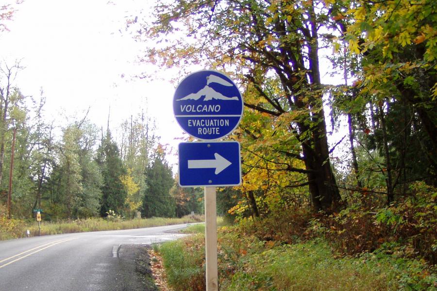
Be ready, get prepared

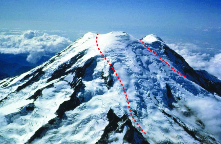
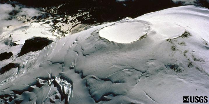
Cascadia Subduction Zone
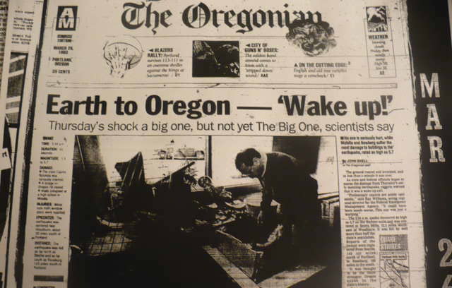
A 600+ mile fault zone that can generate megaquakes and tsunami waves along the coast. The last big rupture was in 1700 and the chance of one occuring in the next 50 years is up to 37%. Learn more.